NSL – Netzwerk Stadt und Landschaft ETH Zürich
  • Progetti
      • Progetti delle cattedre
        • Prof. Dr. Bryan T. Adey | Sistemi di trasporto
        • Prof. Dr. Kay W. Axhausen | Pianificazione dei trasporti
        • Prof. Dr. Francesco Corman | Sistemi di trasporto
        • Prof. Christophe Girot | Architettura del paesaggio
        • Prof. Dr. Adrienne Grêt-Regamey | Pianificazione paesaggistica e sistemi urbani
        • Prof. Dr. David Kaufmann | Sviluppo del territorio e politica urbana
        • Prof. Hubert Klumpner | Architettura e Urbanistica
        • Prof. Dr. Christian Schmid | Sociologia
        • Prof. Milica Topalovic | Architettura e pianificazione territoriale
        • Prof. Dr. h. c. Günther Vogt | Architettura del paesaggio
        • ETH Wohnforum – ETH CASE
        • Archivio NSL
      • Colloqui NSL – Il colloquio NSL è una presentazione semestrale di lavori eccellenti. Il tema viene stabilito di volta in volta dal professore che presenta l’invito.
      • Progetti NSL
        • Future Cities Laboratory (FCL)
        • Urbane Potentiale und Strategien in metropolitanen Territorien
 – am Beispiel des Metropolitanraums Zürich (NFP65)
        • Landscape Visualization and Modeling Lab (LVML)
      • Ex cattedre
    Close
  • Insegnamento
    • Insegnamento
      • Bachelor e Master dipartimento ARCH
      • Bachelor e master dipartimento BAUG
      • MSc in Sviluppo territoriale e sistemi infrastrutturali
      • DAS/CAS in ingegneria dei trasporti
      • MAS/DAS/CAS Pianificazione del territorio
      • MAS Urban and Territorial Design
      • MAS in Housing
      • Dottorato di ricerca in Studi urbani e del paesaggio
      • La conoscenza delle forze decisive per lo sviluppo del territorio e la loro interazione, nonché la capacità di sviluppo di strategie risolutive per problematiche territoriali rappresentano i presupposti centrali per lo svolgimento responsabile ed efficace di funzioni di pianificazione al servizio della collettività e di imprese private. Altrettanto importanti sono la formazione, il perfezionamento e l'agggiornamento universitari nel settore della pianificazione territoriale, urbana e del paesaggio. Dal 1965 l'ETH di Zurigo offre corsi di aggiornamento e percorsi di studi post-laurea (NDS, oggi MAS) in questo ambito. I corsi sono gestiti dalla Rete Scientifica Città e Paesaggio (NSL).
    Close
  • Pubblicazioni
    • Coverfoto NL48Newsletter – NSL riunisce esperti dell’ETH di Zurigo e cura il dialogo con altri ambienti che si occupano o si interessano di questioni relative alla città e al paesaggio.
    • Rewriting Architecture CoverPubblicazioni delle cattedre di NSL – Un elenco completo delle pubblicazioni con funzioni di ricerca avanzate è disponibile al seguente link:
      • ETH Zürich Research Collection
    • RDSP_222_cover_previewdisP – The Planning Review – La rivista scientifica interdisciplinare tratta temi legati a sviluppo territoriale, urbanistica, pianificazione paesaggistica e ambientale, architettura del paesaggio, economia regionale e ambientale e pianificazione del traffico.
      • Pubblicazione di articoli specialistici
      • Editore
      • Guida per la stesura di recensioni letterarie per disP
      • Redazione
      • Nuova edizione
      • facebook
    Close
  • Attualità
  • Contatto
      • it
        • de (de)
        • en (en)
        • fr (fr)
      • Search

    • Close
      • de
      • en
      • fr

Unseren Lebensraum erfassen, analysieren und gestalten – Einblick in die Welt der Geomatik

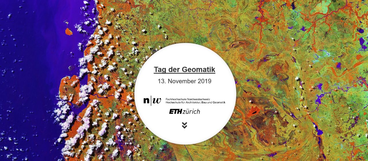
5. Tag der Geomatik 2019

13. November 2019 | 5. Tag der Geomatik | Kongresshaus Aarau.

Die ETH Zürich und die FHNW laden auch in diesem Jahr wieder zum Tag der Geomatik. An dieser Veranstaltung mit interaktiver Ausstellung und Lernmodulen für Schulklassen, geben Expertinnen und Experten spannende Einblicke in ein vielseitiges Fachgebiet.

Wie wird unser Lebensraum erfasst? Was lernen wir aus den gewonnenen raumbezogenen Daten? Und inwiefern ermöglichen uns diese Daten die nachhaltige Gestaltung unseres zukünftigen Lebensraumes?

In 45-minütigen interaktiven Modulen lernen Schülerinnen und Schüler Aspekte der Geomatik kennen, die auch im Alltag relevant sind und Anknüpfungspunkte an den Unterricht in Geografie, Informatik, Physik oder Mathematik bieten wie beispielsweise Karten, räumliche Orientierung, Programmierung und Augmented oder Virtual Reality. Der Tag der Geomatik richtet sich an Sekundarschulen, Gymnasien, Kantons- und Berufsschulen.

Alle interessierten Personen sind herzlich eingeladen, den zusätzlichen Ausstellungsbereich mit Informationsständen und Mitmach-Aktivitäten rund um die Geomatik zu entdecken. Der diesjährige Tag der Geomatik findet im Rahmen des 200-Jahre Jubiläums der Firma Kern (heute Leica Geosystems) in Aarau statt. Das Programm wird deshalb durch fachbezogene Angebote der Leica Geosystems und des Stadtmuseums Aarau ergänzt.

Haben wir Ihr Interesse geweckt? Das detaillierte Programm und die Online-Anmeldung für Schulklassen werden ab Mitte August hier aufgeschaltet. Für weitere Informationen per E-Mail.

Share on Facebook
Facebook
Tweet about this on Twitter
Twitter
Share on LinkedIn
Linkedin
Email this to someone
email
Questo contributo è stato pubblicato nella seguente newsletter:

43 | September 2019: Verdichtung / Density

  • Projects on Territory: Dichte Geschichte
  • Form, Dichte und Werte – ein Vergleich von Ökosystemleistungen in Zürich und Singapur
  • «Das Future Cities Laboratory Global würde die ETH Zürich im Bereich der Stadt- und Raumplanung stärken»
  • Densifying Switzerland: Debates and Research Avenues for an Analysis of Spatial Planning Policy
  • Gemeinnütziger Wohnungsbau und Innenentwicklung
  • «In the Next Few Years, There Will be More Automation in Mobility.»
Kurzmeldungen
  • One new institute replaces three others: the Institute for Landscape and Urban Studies (LUS)
  • Spatial Planning Policy Analysis
  • Dr. David Kaufmann wird Tenure-Track-Assistenzprofessor für Raumentwicklung und Stadtpolitik
  • Mobilität neu denken: Erste Nationale Mobilitätskonferenz
Publikationen
  • The Grand Projet. Understanding the Making and Impact of Urban Megaprojects
  • The Professionalization of a Social Movement: Housing Cooperatives in Uruguay
Stellenausschreibungen
  • Are Integrated Infrastructure Networks Governable in Contemporary City Regions?
  • Tagung Landmanagement 2019
  • Unseren Lebensraum erfassen, analysieren und gestalten – Einblick in die Welt der Geomatik
  • CAS/DAS Verkehrsingenieurwesen ab Herbst 2021
  • Future Cities: Actions
  • Parti-WAS?! Eine Pitch Night zum Thema Partizipation von «Urban Equipe»
  • The Grand Projet, Understanding the Making and Impact of Urban Megaprojects

Cattedre

Prof. Dr. Bryan T. Adey
Prof. Dr. Kay W. Axhausen
Prof. Dr. Tom Avermaete
Prof. Dr. Francesco Corman
Prof. Teresa Galí-Izard
Prof. Christophe Girot
Prof. Dr. Adrienne Grêt-Regamey
Prof. Dr. David Kaufmann
Prof. Hubert Klumpner
Dr. Anastasios Kouvelas
Dr. Markus Nollert
Prof. Freek Persyn
Prof. Dr. Christian Schmid
Prof. Milica Topalovic
PD Dr. Joris Van Wezemael
Prof. Dr. h. c. Günther Vogt
ETH Wohnforum – ETH CASE

Contatto

Indirizzo
ETH Zürich
NSL – Netzwerk Stadt und Landschaft
Stefano-Franscini-Platz 5
HIL H 44.2
8093 Zürich

Direzione NSL
Direttore: Prof. Dr. Kay W. Axhausen
Vicedirettrice: Prof. Milica Topalovic

Ufficio di coordinamento NSL
Claudia Gebert
Telefono: +41 (0)44 633 36 33
Fax: +41 (0)44 633 15 67

Redazione disP

Caporedattrice
Dr. sc. techn. Martina Koll-Schretzenmayr, pianificatrice territoriale ETH/NDS,
Telefono +41 (0)44 633 29 47

Assistente di redazione
Telefono +41 (0)44 633 29 69

Indirizzo
ETH Zürich
Redaktion disP
NSL – Netzwerk Stadt und Landschaft
Stefano-Franscini-Platz 5
HIL H 33.2
8093 Zürich
Fax +41 (0)44 633 12 15
E-Mail

Archivio NSL (gta)

Archivio storico e di ricerca per l’architettura
del paesaggio e la pianificazione ambientale svizzere

Richieste di consultazione

Indirizzo
ETH Zürich
NSL Archive (gta)
Stefano-Franscini-Platz 5
HIL C 65.2
CH-8093 Zurich