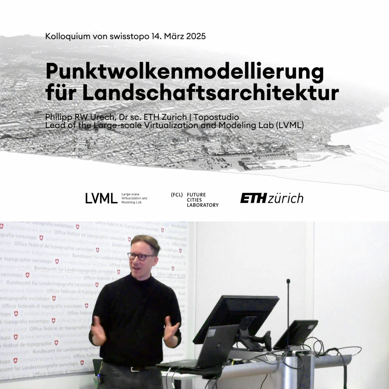
Nach sechs Jahren LiDAR-Vermessung aus der Luft ist nun die klassifizierte Punktwolke der Schweiz – swissSURFACE3D – für das gesamte Schweizer Territorium verfügbar. Zu diesem Anlass präsentierte Dr. Philipp Urech Forschungsarbeiten aus dem Large-scale Virtualization and Modeling Lab (LVML), ergänzt durch praktische Beispiele seiner wegweisenden Methode für die Landschaftsarchitektur mit Präzisionsmodellierung im grossen Massstab. Der Vortrag fand im Rahmen der Kolloquiumsreihe des Bundesamtes für Landestopografie statt. (Folien und Videoaufzeichnung sind bei Swisstopo in Deutsch verfügbar: «14.03.2025 – swissSURFACE3D schweizweit»)