Prof. em Christophe Girot | Landscape Architecture
Shaping Physical Landscape
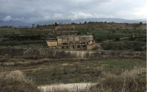
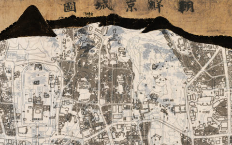
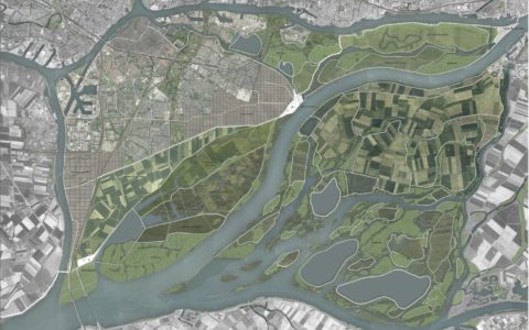
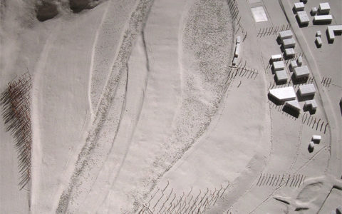
Point cloud modeling as a site-specific design method in landscape architecture applied to a case study in Singapore.
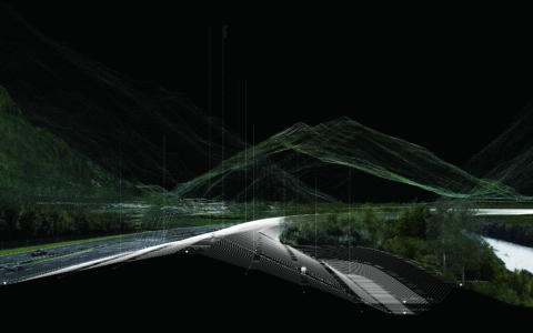
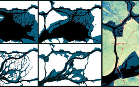
The design of large-scale urban landscapes often takes place without topographical reference and fails to build a cohesive relation between terrain, land cover and urban space. This research aims to consolidate landscape design by devising a new method for formal, functional and aesthetic composition. The design method draws from geo-referenced point cloud models produced with the technique of laser-scanning. Point cloud models provide an accurate geometrical representation of the landscape in three-dimensions which allows to understand and work with the detailed form of the environment. The method consists of manipulating these models to shape new configurations based on existing site conditions. The design method is divided into three phases, all linked with three-dimensional modeling techniques. Each phase has a technical component and an applied component.
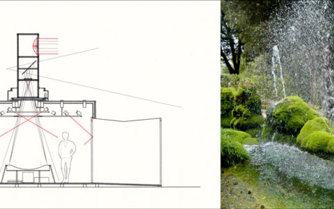
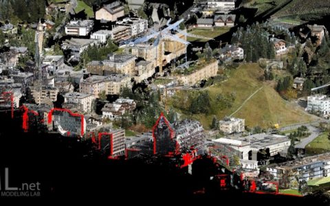
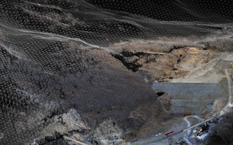
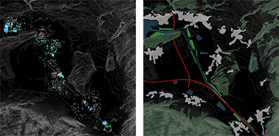
The technical component involves methodical steps to interact with point cloud models. It was developed through a cross-disciplinary transfer from other fields that handle laser-scanned data. The transfer is complemented by the inclusion of literature from environmental fields such as archaeology, remote sensing and environmental sciences. Techniques of surveying and geometric documentation were refined during the 6th CIPA summer school in 2019 in Gyeongju, Republic of Korea. A technical workflow for evaluating the performance of designs was developed in collaboration with researchers and engineers of the module «Ecosystem Services in Urban Landscapes» at the Future Cities Laboratory (FCL) in Singapore, led by Prof. Peter Edwards.
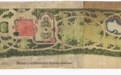
The applied component contextualized the approach in the field of landscape design. It was developed through a series of experimental design and elective courses under the Chair of Landscape Architecture at the ETH Zurich, Prof. Christophe Girot, which acted as catalysts to integrate laser scan data into the design process. Innovative instruments and techniques were tested at the Landscape Visualization and Modeling Lab (LVML) and applied to design assignments. The process has been tested in Design Research Studios (DRS) involving Bachelor’s and Master’s students of the ETH in Zurich and the SUTD in Singapore. The studios allowed the verification of the research hypothesis by manipulating point cloud models to develop design solutions.
This research contributes to the current discourse on design performance. The integration of scientific feedback in the design process is achieved through digital modeling to study the physical form of the design, and dynamic simulation to study the time-varying behavior of dynamic systems based on scientific data. Point cloud models altered according to design intentions are iteratively evaluated with simulation models to expose potentials for improvement, hence contributing to the production of site-specific design solutions. This approach increases the awareness of designers who can extend their capacity for analysis, cultural inclusion, imagination and artistic expression. Thanks to this increased awareness, a new logic can emerge to shape our milieu and counterbalance functional and programmatic aspects with the spatial quality of the territory.