NSL – Netzwerk Stadt und Landschaft ETH Zürich
  • Projects
      • Projects of the Chairs
        • Prof. Dr. Bryan T. Adey | Infrastructure Management
        • Prof. Dr. Tom Avermaete | History and Theory of Urban Design
        • Prof. Dr. Kay W. Axhausen | Traffic and Transport Planning
        • Prof. Dr. Francesco Corman | Transport Systems
        • Prof. Teresa Galí-Izard | Chair of Being Alive
        • Prof. Dr. Adrienne Grêt-Regamey | Planning of Landscape and Urban Systems (PLUS)
        • Prof. Dr. Eva Heinen | Transportation and Mobility Planning
        • Prof. Dr. David Kaufmann | Spatial Development and Urban Policy
        • Prof. Hubert Klumpner | Architecture and Urban Design
        • Dr. Anastasios Kouvelas | Traffic Engineering and Control
        • Prof. Dr. Christian Schmid | Sociology
        • Prof. Milica Topalovic | Architecture and Territorial Planning
        • Dr. Jennifer Duyne Barenstein | ETH Wohnforum – ETH CASE
        • NSL-Archiv
      • Former Chairs
      • NSL Colloquia – The NSL Colloquia are a bi-annual presentation of exceptional work under a rotating theme determined by the inviting professor.
      • NSL Projects
          • E-Bike City
          • Future Cities Lab Global
          • Urban Potential and Strategies in Metropolitan Territories
 – The Zurich Metropolitan Region as an Example (NFP65)
          • Large-scale Virtualization and Modeling Lab (LVML)
      • NSL Forum
        • NSL Forum & Cycling Research Board
        • NSL Forum: Pandemie? Mitten im Klimawandel. Was bedeutet das für die räumliche Entwicklung der Schweiz? Ein Dialog.
    Close
  • Teaching
    • Teaching
      • Bachelor and Master Degree Programmes, Department ARCH
      • Bachelor and Master Degree Programmes, Department BAUG
      • MSc in Spatial Development and Infrastructure Systems
      • MAS/CAS in Regenerative Materials
      • CAS in Regenerative Systems: Sustainability to Regeneration
      • MAS/CAS Spatial Development
      • MAS Urban and Territorial Design
      • MAS in Housing
      • Doctoral Programme in Landscape and Urban Studies
      • The teaching component of the NSL seeks to impart the knowledge and skills needed to develop the standard strengths of spatial planning and their interaction as well as the ability to develop strategies for the solution of spatial problems. These are central prerequisites for a responsible and successful exercise of planning functions in the service of the public commonwealth and of private companies. Especially important in fufilling these prerequisites is the quality of university-level education: graduate and post-graduate work as well as professional development in spatial, urban and landscape planning. The ETH Zurich has offered programmes such as continuing education courses and post-graduate programmes (NDS, now MAS) since 1965. The NSL (Network City and Landscape) is responsible for these courses and programmes.
    Close
  • Publications
    • Cover NL 65NSL Newsletter – The NSL brings the experts at ETH Zurich together and also maintains a dialogue with other groups that deal with or are interested in issues relating to cities and landscapes.
    • A map describing the different phases of India’s neoliberal highway programme. Source: The author.Publications of NSL Chairs – A complete list of publications can be reached via the following link, which also includes advanced search capabilities:
      • ETH Zürich Research Collection
    • disP – The Planning Review – The interdisciplinary scientific journal covers the topics of spatial development, urban planning, landscape and environmental planning, landscape architecture, traffic planning, and regional and environmental economics, as well as special issues on specific themes.
      • Instructions for Authors
      • Types of Articles
      • Publisher
      • Book Review Guidelines
      • Editorial Staff
      • Latest Issue
      • facebook
    • DELUS Cover Issue 1DELUS – Journal for Landscape and Urban Studies – DELUS is an annual publication by the Institute of Landscape and Urban Studies at ETH Zürich.
    Close
  • News
  • Contact
      • en
        • de
        • fr
        • it
      • Search

    • Close
      • en
        • de
        • fr
        • it

Mapping Everything

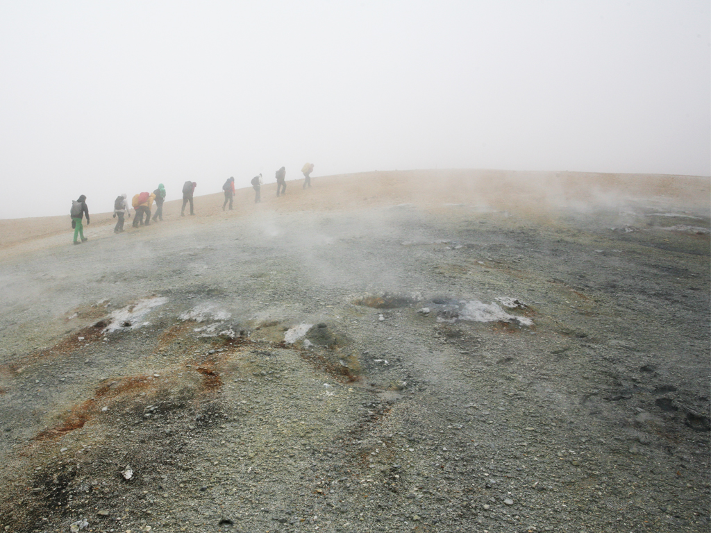
Die Darstellung von Raum auf Karten, Plänen und in Modellen ist so vielfältig, wie es ihre spezifischen Zwecke sind, die Darstellungsformen so variabel wie die Raumwahrnehmung ihrer Autorinnen und Autoren. Im Rahmen der Summer School Mapping Everything setzen sich die Studierenden der Professur Vogt, Landschaftsarchitektur, mit der Kartographierung ortsspezifischer Interessen und Aspekten auseinander und lernen unterschiedliche Methoden und Techniken der Raumwahrnehmung. In der diesjährigen Summer School ging die Reise nach Zentral-Island wo die expeditionsmässige Annäherung an die Orte Technik und Methode des Prozesses und somit die Inhalte der Projekte bestimmte. 

Das deutsche Wort Karte (abgeleitet vom lateinischen charta =Papyrusblatt) wird als physisches Produkt des kartografischen Prozesses verstanden. Das englische Wort Map hingegen stammt vom lateinischen Wort Mappa (=Abbild). Somit steht Mapping für den Prozess der Herstellung einer Map und legt sich dementsprechend nicht zwingend auf das Medium der Karte fest. Als das Abbild eines Raums besteht eine Map oder Mapping vielmehr aus unterschiedlichen Formen, je nach Verwendung und Zweck. Demzufolge verstehen wir im Rahmen der Summer School Mapping als die konzeptuelle Auseinandersetzung mit den einzelnen Phasen des kartografischen Prozesses, welcher in direkter Beziehung zu einem ausgewählten Ort steht. Der Zweck der Anwendung und das Ziel der Wirkung sind dabei entscheidend.

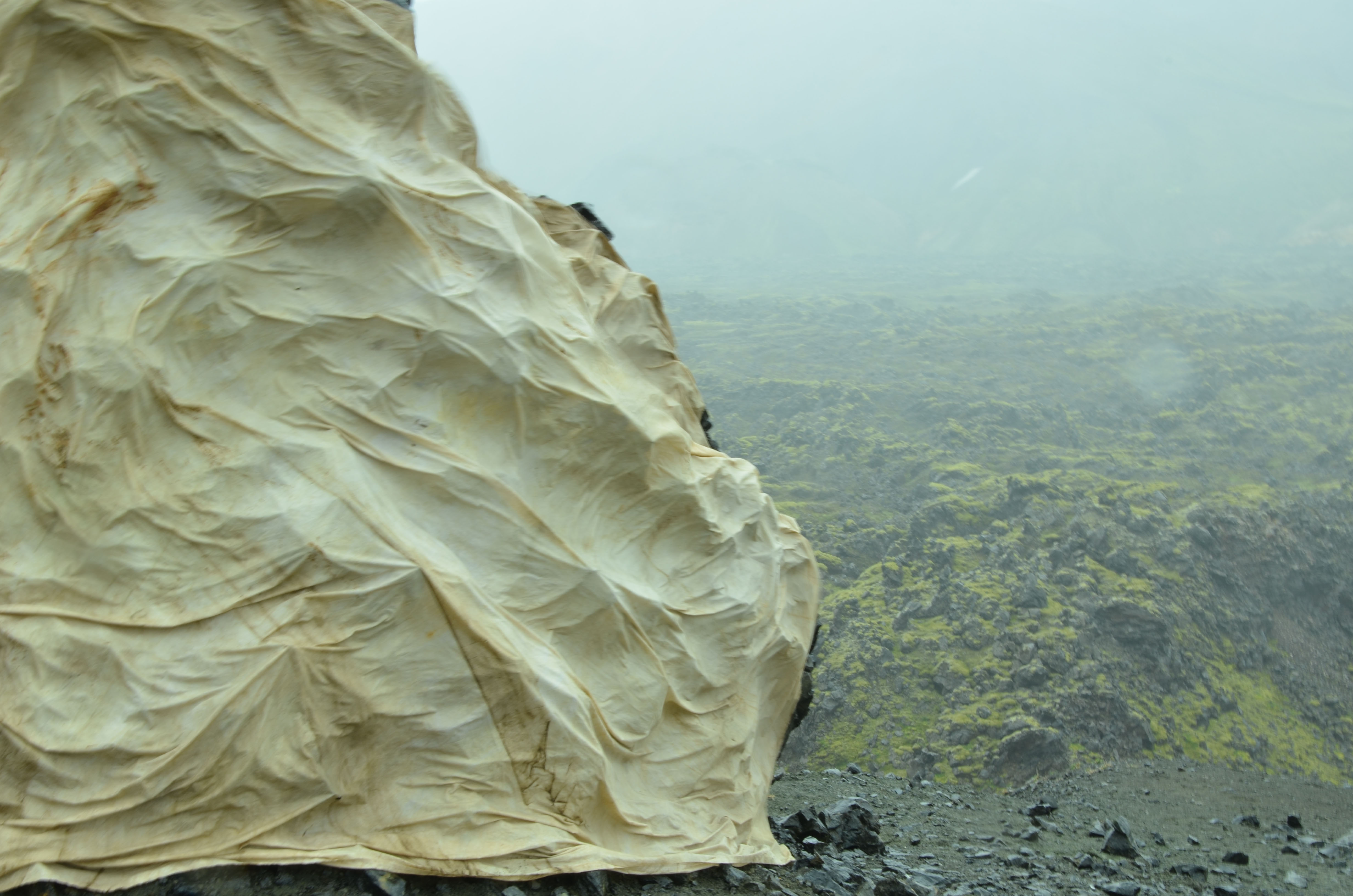
Mapping bedeutet, eine räumliche Definition eines bestimmten Gebietes aus der Wechselwirkung zwischen spezifischen Methoden der Datenerhebung und der subjektiven Wahrnehmung zu entwickeln. Somit ist Raum zu interpretieren und zu kommunizieren und die dabei neu gemachten Wahrnehmungen für Andere sichtbar zu machen. Inwieweit dies eine prägende Wirkung auf den realen Ort hat, ist von den einzelnen Prozessschritten des Kartierenden abhängig. Die körperliche Präsenz vor Ort und die Abwesenheit eines vorgegebenen Ziels machen Mapping in der Summer School zu einer spezifischen Methode der Raumerkundung, bei welcher die Form des Mapping als Installation, Intervention, Abbild vor Ort oder in einer Ausstellung umgesetzt werden kann.

Die Form der Notation von räumlicher Wahrnehmung ist inhärent an die Auswahl des Werkzeuges gebunden. Eindrücke und Informationen des Ortes werden gesammelt und nachträglich abstrahiert in das Konstrukt des Mapping übertragen. Die Art und Offenheit der Notation bestimmen die Lesart und müssen daher von der Autorin oder vom Autor auf die beabsichtigte Verwendung und Form abgestimmt werden. Mapping ist ein Prozess der Raumüberarbeitung, wobei sich die Wahrnehmung zwischen dem realen Ort und dem künstlichen Medium des Mapping bewegt.

Der Mapping-Prozess auf Island kennzeichnete sich durch einen experimentellen Umgang mit Werkzeugen, die körperliche Erfahrung vor Ort und durch einen lebendigen Gedankenaustausch innerhalb der Gruppe. Die Arbeiten wurden in der Nachbereitungsphase in ein Ausstellungsformat umgewandelt und der Öffentlichkeit präsentiert.

David Rademacher ist wissenschaftlicher Assistent am Lehrstuhl Günther Vogt, Professur für Landschaftsarchitektur. 

NL25: Mapping Everything
Projekt: Gijs Rijnbeek. Die unterschiedlichen räumlichen und geologischen Charakteristiken der fünf Landschaften, die auf der Reise sequenziell durchquert wurden, werden im Projekt mit Hilfe eines weissen Tuches aus ihrem Kontext extrahiert, aufgezeichnet und durch ihre Abdrücke zueinander in Beziehung gesetzt. Mit Film und Fotografie werden die Interventionen vor Ort dokumentiert und führen in der Ausstellung aufgrund ihrer seriellen Darstellung zu einer Neulesung der Orte.
Share this...
  • Facebook
  • Linkedin
  • Whatsapp
  • Email
This article has been published in the following newsletter edition:

25 | März 2015: Mapping

  • Mapping Everything
  • «Explorative Data-Mapping – Experimental Teaching Tools» innerhalb des MAS in Landscape Architecture
  • Verkehrsinfrastruktur, Macht, Staat
  • Geographies of Opportunity
  • When the Dog is Dead, Throw it in the River – Mapping and the Challenges of the Ciliwung
Kurzmeldungen
  • Workshops zur Kartierung von Ökosystemleistungen
  • Improving Pedestrian Mobility Through Bottom-Up Strategies, ETH-EiABC Workshop 2014 Addis Ababa Ethiopia
  • NSM – Advancing the Model for Safety Improvement of the Road Network in the City of Zurich
  • Effiziente Flughafenerschliessungssysteme im Hinblick auf die Landnutzung an Flughäfen
  • Neue Studienleitung des MAS, CAS, DAS Raumplanung
  • Teilnehmende für Eye-Tracking-Studie gesucht
Publikationen
  • Young-Old: Urban Utopias of an Aging Society.
  • From absolute protection to controlled disaster: New perspectives on flood management in times of climate change
  • Analysis of the Network Exit Functions for different urban grid network configurations
  • Forget About Utopia
  • Integrated Transport and Land Use Modeling for Sustainable Cities
  • How international borders affect local public transport: Analyses and evaluations of cross-border agglomerations in Switzerland. France and Germany

Chairs

Prof. Dr. Bryan T. Adey
Prof. Dr. Kay W. Axhausen
Prof. Dr. Tom Avermaete
Prof. Maria Conen
Prof. Dr. Francesco Corman
Dr. Jennifer Duyne Barenstein
Prof. Teresa Galí-Izard
Prof. Dr. Adrienne Grêt-Regamey
Prof. Dr. Guillaume Habert
Prof. Dr. Eva Heinen
Prof. Damian Jerjen
Prof. Dr. David Kaufmann
Prof. Hubert Klumpner
Dr. Anastasios Kouvelas
Prof. Freek Persyn
Prof. Dr. Christian Schmid
Prof. Milica Topalovic
Prof. Martina Voser

Contact

Address
ETH Zürich
NSL – Netzwerk Stadt und Landschaft
Stefano-Franscini-Platz 5
HIL H 44.2
8093 Zürich

NSL Director
Director: Prof. Dr. David Kaufmann
Deputy Director: Prof. Milica Topalovic

NSL Coordination
Claudia Gebert
Telephone: +41 (0)44 633 36 33


Register for the NSL Newsletter

disP Publication Office

Editor-in-Chief
Dr. sc. techn. Martina Koll-Schretzenmayr, Spatial planner ETH/NDS,
Telephone +41 (0)44 633 29 47

Mailing address
ETH Zürich
Redaktion disP
NSL – Netzwerk Stadt und Landschaft
Stefano-Franscini-Platz 5
HIL H 33.3
8093 Zürich
Fax +41 (0)44 633 12 15
E-Mail


NSL Archive (gta)

Research and Bequest Archive for
Swiss Landscape Architecture and Spatial Planning

Consultation Requests

Mailing address
ETH Zürich
NSL Archive (gta)
Stefano-Franscini-Platz 5
HIL C 65.2
CH-8093 Zurich


Privacy Policy