Prof. em Dr. h. c. Günther Vogt | Landscape Architecture
Profiling Alpine Landscapes
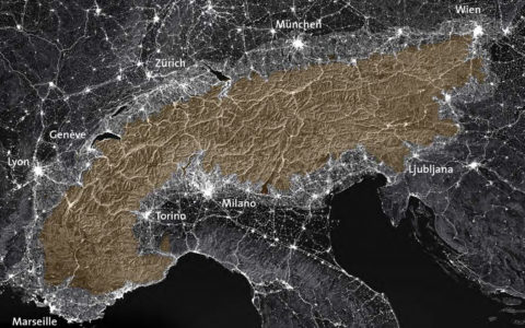
Climate change is accelerating the transformation of the Alps. In this process, «new landscapes» with a great deal of potential are emerging, particularly since the Alps do not represent a sealed-off space but are closely entangled with the Western European continent. However, the current debate is characterized by individual interests, which makes a co-ordinated action virtually unfeasible. Therefore, an overall view of the Alps that both identifies and carefully orchestrates different and differentiated spatial profiles is imperative.
Climate Change Alters the Alpine Space and Intensifies Any Conflicts of Its Use
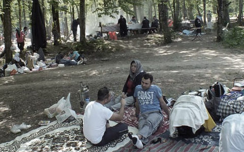
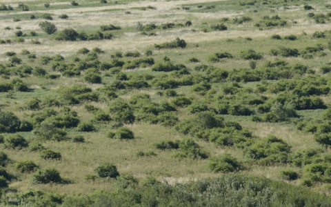
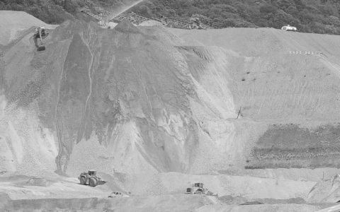
In the wake of climate change, the Alpine region is undergoing a comprehensive and accelerated metamorphosis. The former concept of the physically and intrinsically stable Alps is dissolving and changing into a new image that reveals their fragility. This image began to take shape with the devastating floods of 1987 and was reinforced by the increasing intensity and frequency of floods, debris flows, landslides, and rockfalls. At the same time, the potentials of Alpine landscapes are gaining in importance: renewable energies, fresh water, biological resources, and summer resorts, as well as the «new lakes» that will no doubt emerge in the coming decades due to the retreat of glaciers, are arousing equally new desires and expectations. The current demands for use will intensify in the course of climate change and harbour a great potential for conflict. That’s why a superordinate national protection and planning of use is direly needed, i.e., a spatial profiling of the Alpine region beyond administrative borders. Neither Raumkonzept Schweiz [Spatial Concept Switzerland], nor the study Switzerland. An Urban Portrait, penned by some Swiss architects of world renown, offer appropriate guidelines. Paradoxically, concrete projects are, thus, only ever negotiated and assessed on a case-by-case basis, and their classification as part of a key spatial context is largely lacking.
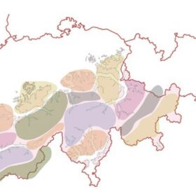
On Developing Spatial Profiles
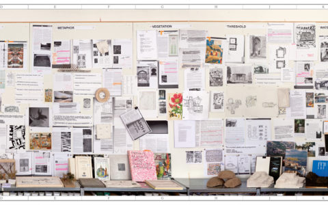
The project aims to contribute to the spatial profiling of the Alpine region and to initiate the necessary process in society, economy, and politics with new views and visuals. It all starts with the valorization of the existing landscapes, whose potentials and strengths need to be profiled. Based on this, a spatial structuring of the entire Swiss Alpine region is carried out – in various scenarios. In co-ordinated and complementary spatial profiles, individual interests as to utilization and protection will be compared and assessed according to the situation. However, this urgently needed profiling can only be realized through a national planning effort that integrates regional aspects from the very beginning. These spatial profiles are to be concretized by means of design proposals elaborated by landscape architects.
In addition, it is important to show ways in which national planning can be implemented in a federalist setting.
Two Already Studied Perimeters in the Swiss Alps
In close co-ordination with the design studio of the Chair of Günther Vogt, student projects will be incorporated into the in-depth research of the processed perimeters and the examination of this new imagery. By using two perimeters in the Swiss Alps, the approach to profiling is reviewed to discuss the potential of the images produced as part of a broader social context. In the 2022 autumn semester, the Bernese Alps (Rhone Valley North) were worked on, followed by the Valais Alps (Rhone Valley South) in the spring semester of 2023.
If you are interested in the respective profiles and images, please contact Thomas Kissling.